About the Workshop
On March 28 and 29, 2023, CrisisReady organized a “Regional Coordination, Data, and Human Mobility Workshop” in collaboration with Direct Relief and CEPREDENAC, the Center for Coordination for Disaster Prevention in Central America and the Dominican Republic.
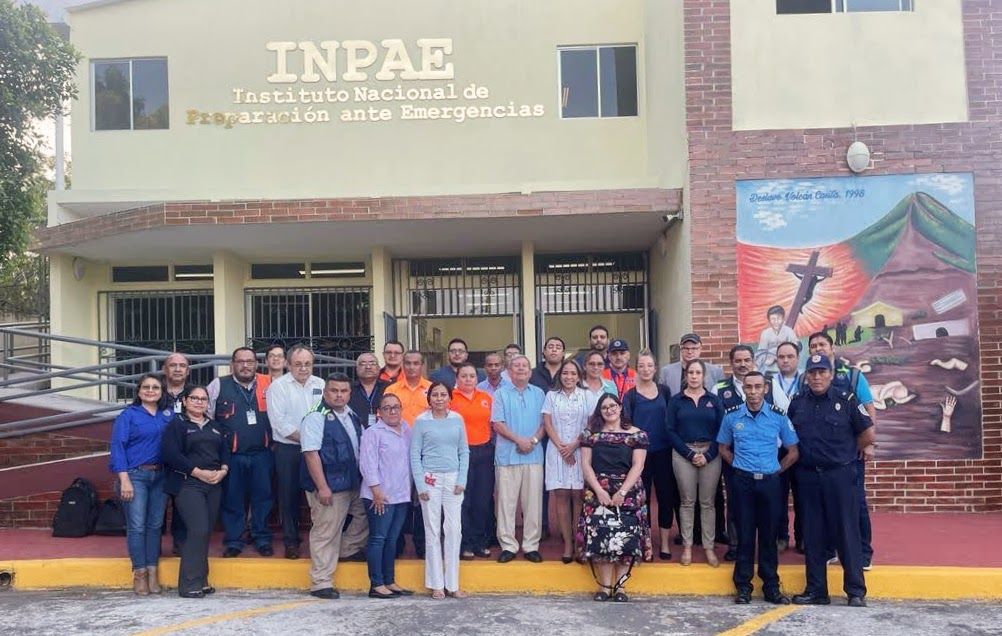
The workshop was hosted at Nicaragua’s SINAPRED (National System for Disaster Prevention, Mitigation and Attention) headquarters, with the primary goal of enhancing the region’s emergency response capabilities in the health sector and promoting the use of information and communication technologies to address humanitarian crises during disasters. All seven member countries, along with CEPREDENAC leadership and the Director of COMTELCA, the regional technical commission for telecommunications in Central America, participated in the event.
The workshop began with discussions about current practices and data workflows, followed by an introduction to innovative data sources like Meta and OpenStreetMap, designed to improve assessments of displacement, migration, and damage during emergencies. Presentations on data analytics, pipelines, and data modeling were then presented, with a particularly well-received session on data ethics and stewardship.
The second day of the workshop focused on public health scenarios that utilize novel data source modeling, including cases related to COVID-19 and monitoring worldwide outbreaks of tropical diseases. The CrisisReady team also showcased its Mobile Kit, featuring Python code for analyzing data from mobility network operators. The day concluded with a discussion led by Claudia Herrera, President of CEPREDENAC, regarding the upcoming regional disaster simulation in Panama. She emphasized the importance of integrating data analytics into emergency response workflows and protocols.
Strengthening Crisis Response: A Collaborative Approach to Data Analysis and Decision-Making Across Central America and the Dominican Republic
Throughout the workshop, member countries expressed varying degrees of needs and capacities in their respective data management and analytics. Honduras shared their work in surveying communities about their perceptions of risks and needs related to forest fires. Guatemala presented an alert database that feeds into a web application informing decision-makers at different levels. Costa Rica utilizes remote sensing satellite and drone imagery to map risks and threats. El Salvador periodically surveys community leaders on emergency preparedness and uses an ArcGIS dashboard to map and communicate nationwide service availability. Nicaragua runs a neighborhood mapping program, including location data for health facilities, schools, and essential infrastructure, using ArcGIS dashboards to manage and publish this information. Panama employs Amazon Web Services to manage sensor data that monitors river levels and flooding. The Dominican Republic engages in risk analysis and uses QR codes and digital tools to communicate accurate and timely information to the public, aiding them in making better decisions during crises. This essential work demonstrates a strong commitment to enhancing information, knowledge, and decision-making for crisis response through various data analysis methods.