
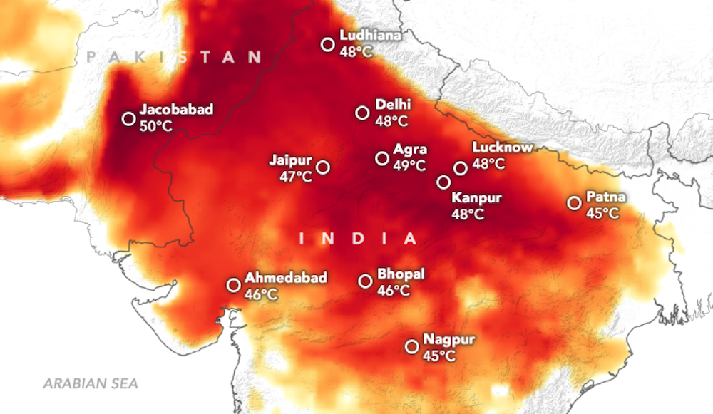
Research shows that disasters are becoming more frequent and severe worldwide, driving mass displacement and disrupting critical infrastructure and healthcare. As the threats of changing climates grow, addressing gaps in emergency response is more urgent than ever.
Strengthening disaster preparedness and response is crucial to protecting vulnerable communities and safeguarding human health. Fortunately, advances in data science, AI, and analytics create powerful opportunities to close critical gaps.
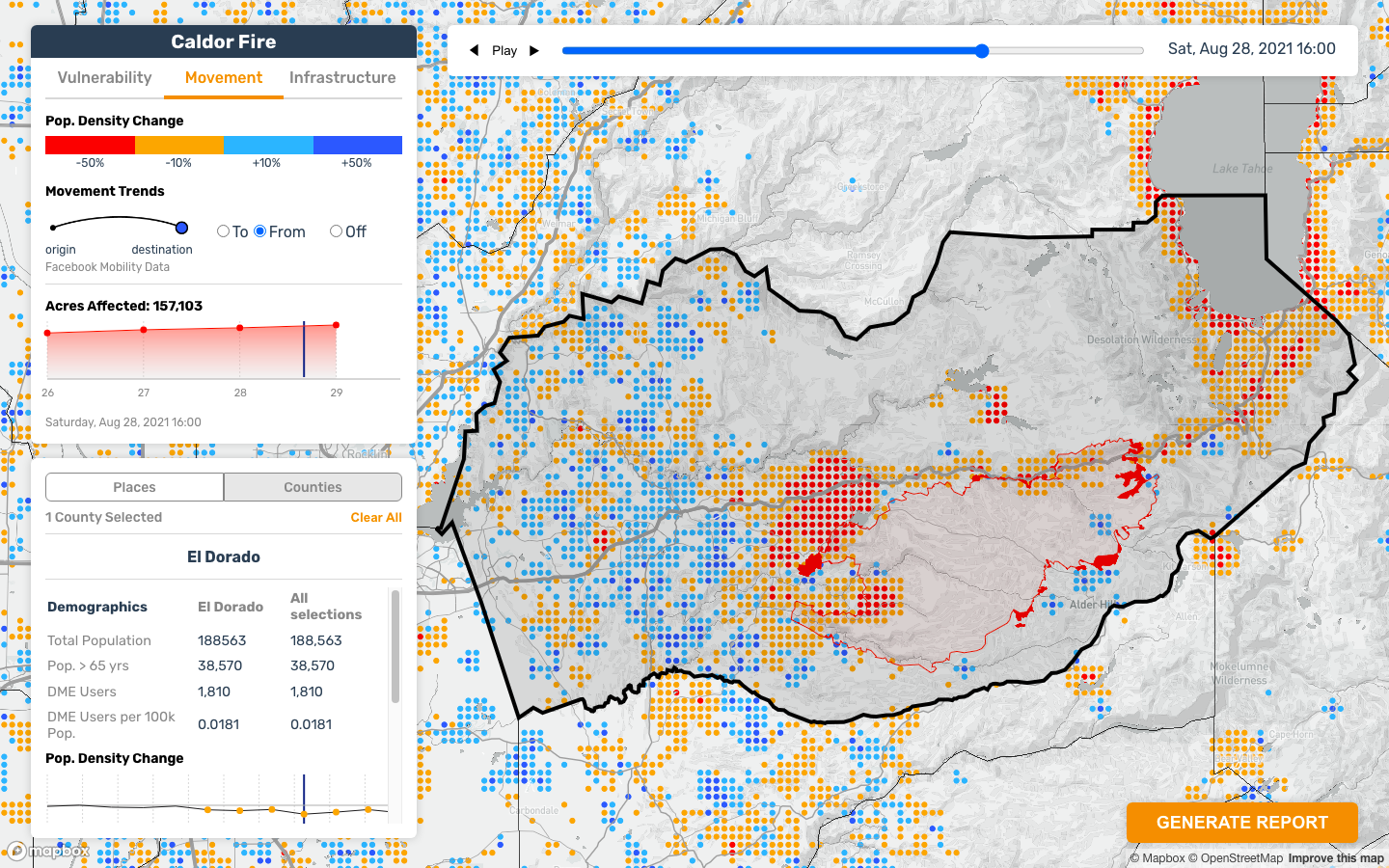
CrisisReady uses novel data on disaster disruptions and community impacts to develop tools that improve response efficiency and support preparedness efforts. By integrating research, technology, and policy, it aims to enhance resilience and reduce risks during crises.


SPOTLIGHT
Explore some of our more recent and impactful projects spanning data, methods, and translational readiness.

Heat in the City: A Multi-City Workshop on Extreme Urban Heat and the Rise of the Heat Officer
- DATE:
Sun, May 3, 2026 at 11:00am — Sun, May 10, 2026 at 12:00pm
TAGS:Climate Data Readiness Mobility Data Data Policy Workshops Data in Crises Spotlight News mobility climate mobility data

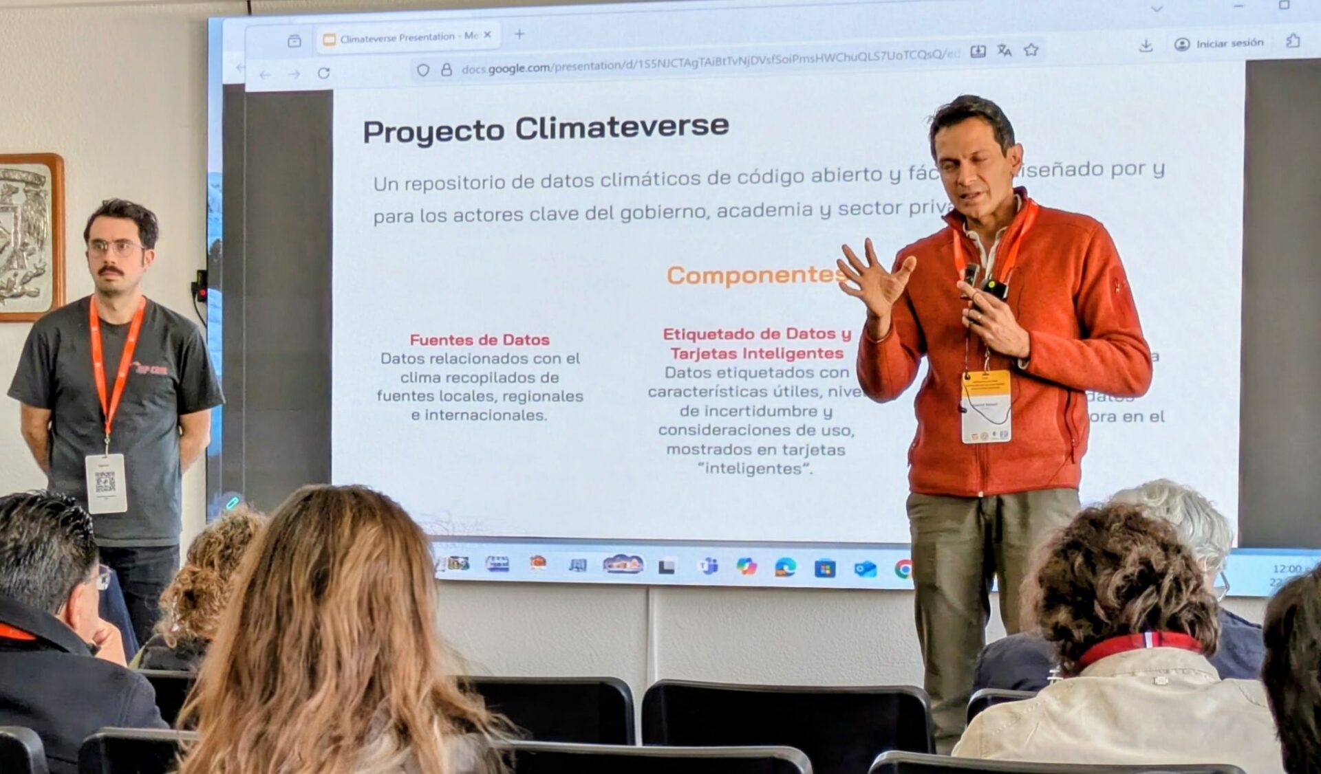
National Workshop on Novel Data and AI for Disaster Resilience at UNAM
- DATE:
Tue, Jan 27, 2026 — Sat, Jan 31, 2026
TAGS:Mobility Data Disasters News Workshops Spotlight climate change disasters